
How to Search Vienna Property Records
Begin with the Wood County Assessor's CAMA portal. It accepts a Vienna address, owner name, account number, or district/map/parcel combination. Before trusting a result, compare what it returns against what you already know. Check the parcel address, the legal description, and the deed book and page. Recorded transfers come through the County Clerk's deed index. Tax tickets run through the Sheriff's online services, and mapped parcels through the West Virginia Property Viewer. Building and zoning questions inside Vienna follow a separate city track for permits and land use. Each source answers a different piece of the puzzle.
- Find the Vienna property in CAMA and note its assessment account and map/parcel identifiers.
- Use the Clerk index and deed reference to confirm ownership and land description.
- Check the tax year and ticket status in the Wood County tax inquiry service.
- View the parcel in the WV Property Viewer and compare its location with the legal description.
- For proposed or past work, contact Vienna City Building about its permit and zoning file access.
The Wood County property search guide walks through the county account fields, and the deed record guide helps when a transfer reference needs follow-up. Ask Vienna itself for city approval records.
Where Vienna Property Records Are Kept
Three county offices carry the load for Vienna parcels. The Wood County Clerk keeps deed records. The Assessor handles assessments and the tax roll. The Sheriff collects property taxes. County GIS mapping adds a countywide layer on top of those documents. Local building and land-use matters sit with City Building at 609 29th Street. The city publishes no parcel-based permit-history portal or online fee schedule. Request instructions directly from City Building.
Wood County Records (deeds, taxes, parcels)
Wood County maintains Vienna deeds, assessment accounts, tax tickets, and parcel references.
Vienna Permits & Zoning
City Building, 609 29th Street
Vienna, WV 26105
304-295-4541
Ask the office for current permit records and application steps.
West Virginia’s municipal contacts directory provides a route to Vienna city offices.
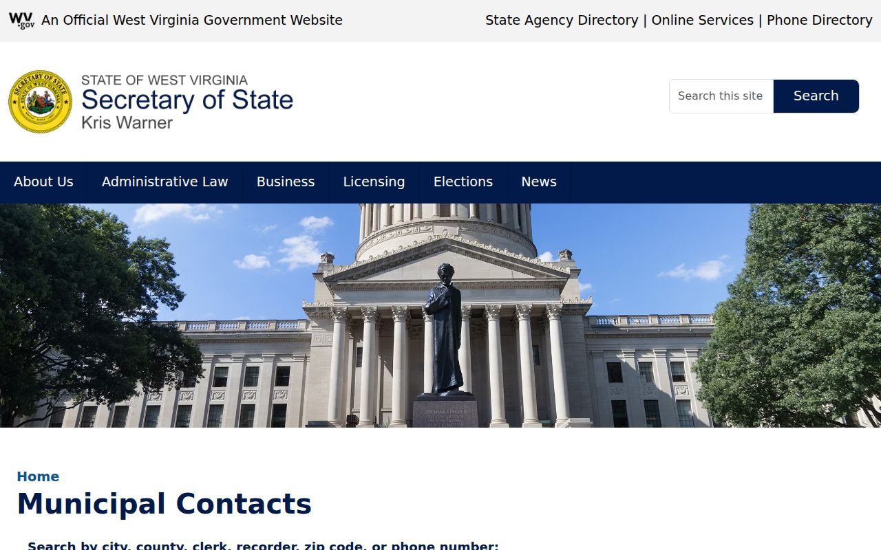
The state directory routes city-record questions, while ownership and tax documents for Vienna stay with Wood County.
Vienna’s Town Plan and Early County History
Joseph Spencer laid out Vienna. The town once competed to host the Wood County seat. That early history shapes how older land descriptions read around town. A researcher often needs the plats, deed references, and owner-of-record names used at the time. The courthouse eventually landed at Parkersburg's Court Square. Even so, historic Vienna deeds remain Wood County Clerk records. A modern street address can help you find the parcel. The older instrument may instead describe it by lot, tract, adjoining owner, or plat.
Vienna incorporated in 1935. Later adjustments to the municipal limits can affect whether a property faces city procedures. They never move deed or assessment custody out of the county. For a property with a long past, keep its ownership chain separate. Keep it apart from the municipal history of the address itself.
River, Creek, and Route 14 Parcel Context in Vienna
The Ohio River, Worthington Creek, Pond Run, and Route 14 anchor parcel research across Vienna. A creek-side or riverfront property may carry mapped features that matter for due diligence. Remember, though, that a flood layer or community layer on a map is not a boundary survey. It is also not an engineering opinion or a final word on development rules. Compare the parcel geometry with its legal description. Take specific land-use questions to the office with authority over them.
Route 14 and the river corridor lend familiar labels to many mailing addresses. Local descriptions use them too. Treat those labels as navigation clues and nothing more. For telling adjoining tax accounts apart, rely on the county map key. The deed description is its dependable partner.
Vienna Areas and Plats in County Records
Vienna's landscape runs from the older town grid to commercial land around Grand Central Mall and Route 14. Other parcels are oriented toward the river and waterways. These work well as geographic descriptions. They are not a verified list of legal subdivision names. A subdivision name counts only when the recorded plat or deed uses it. So quote the document exactly, and compare its wording with the Assessor parcel account.
| Neighborhood / Subdivision | Era | In the Records |
|---|---|---|
| Historic Vienna town grid | Early town layout | Check original lot and plat wording in deed records |
| Grand Central Mall / Route 14 area | Modern commercial growth | Search by parcel account; broad area names are not lot identifiers |
| Ohio River and creek corridors | Multiple property eras | Compare deed description and mapped location |
Search by address or parcel number first. Then follow the lot, plat, or book-and-page terms the recorded document gives you. A map can reconnect an old description to current roads. It cannot certify a boundary. When an older Vienna property description refuses to match its current address, read County Clerk plat records and the deed together. Work through both until the two line up.
Vienna ZIP Code and Municipal Limit Distinction
Vienna mail travels under ZIP 26105, yet a postal designation says nothing about where the incorporated boundary sits. A mailing address by itself will never tell you whether a parcel sits inside city limits. For that answer, consult an official municipal map or the City Building. USPS tools work fine for tidying up a delivery address. They should never be used to settle a question of land jurisdiction.
The line between city and unincorporated land matters most along the commercial corridors and the river edge, where neighbors can share a Vienna mailing label yet answer to different local governments. When you check a parcel number, pair it with a boundary confirmation so your zoning, permit, and code questions land on the right office.
Vienna’s Municipal Footprint and Property Scale
Vienna is a compact city of about 3.97 square miles. The 2020 Census counted 10,576 residents. It incorporated in 1935. Its river frontage, Worthington Creek, Pond Run, and the corridors along Route 14 mix commercial and residential parcels into a fairly tight footprint. Citywide figures like these give planning context, but they say nothing about the value, use, or boundary of any single lot.
Start with the county parcel number. Then confirm the parcel sits inside Vienna's municipal limits. Postal labels can mislead, because an address may carry the Vienna name yet fall outside the incorporated city. Keep jurisdiction, parcel geometry, and assessment status as three separate questions.
Vienna once stood as a possible county-seat candidate. The courthouse went to Parkersburg instead. The city grew along the river into the municipality it is today. A historic town reference can help you orient an older deed, but it cannot prove that a present parcel lies inside today's boundary.
For edge-of-town service questions, check the parcel against the municipal boundary. A ZIP lookup will not settle it. Neither will a city name in a postal address. The Wood County Assessor can confirm the account and map identifier. Ask City Building about permits and zoning. Separate checks matter most for land near commercial corridors and waterways.
Vienna Building Permits and Conditional Uses
Vienna's zoning code allows conditional uses. One rule deserves attention. A granted conditional use must begin within six months, or the approval becomes void. An approval date alone tells you little. It may not show whether the use was started or still stands. Ask City Building about a particular property. Request the application, the decision, and the current status.
City Building sits at 609 29th Street and answers at 304-295-4541. The city publishes no searchable permit portal. Direct inquiry is the practical route. Give staff the street address. Also give the county parcel number. That helps them separate the property from similarly named roads or multi-parcel sites.
When you request a conditional-use file, ask for the application. Ask for the hearing or decision record too. Include any conditions attached to the approval, and whether the use ever started. The six-month rule means a past approval may never have taken effect. A city land-use file and a county deed are different records. The deed shows a property interest. The municipal file documents regulatory review.
Vienna Property Values and Commercial Parcels
Vienna assessments live in county records. The Wood County Assessor account holds the assessed value and property characteristics. Transfers and tax charges run through deeds and the county tax inquiry system. The commercial district around Grand Central Mall includes property types that compare poorly with a house lot or riverfront parcel. Read the classification, acreage, improvements, and assessment year before comparing two accounts.
No Vienna-specific trend series or local reassessment schedule is published. A tax assessment is not a negotiated sale price. It is not a market appraisal either. For assessment questions, ask the Wood County Assessor which fields and tax year apply. For municipal land use, ask Vienna City Building separately.
What Vienna Property Records Show and Their Limits
Wood County property records for Vienna land can show ownership entries, recorded deeds, assessment values, tax status, and parcel references. City files add permits and zoning decisions. Together they build a useful property history. They do not replace a certified title search. Nor do they substitute for a boundary survey or market appraisal, since a nearby parcel with a similar address may belong to a different account.
Responsible use. Use public records for parcel research, civic understanding, and property due diligence. Do not use owner information to threaten, harass, or expose people.