
What the Wood County Current Owner Record Shows
The Assessor's property search organizes each parcel around its owner and identifying details. The owner field names the party on the roll. The parcel address fixes the location. A mailing address directs assessment notices, and the deed book and page point to the recorded instrument behind the entry. These fields identify the record to verify. They do not list every lien, restriction, or later event that could affect title.
| Owner name | Person or entity listed on the current assessment record |
|---|---|
| Mailing address | Address used for tax and assessment correspondence |
| Parcel address | Property location associated with the account |
| Map and parcel | County parcel identifier used to distinguish land |
| Deed book and page | Reference to locate a recorded conveyance |
| Legal description | Recorded land description, which may be more stable than a street address |
A mailing address is a clue, not proof of residence. A company or trustee may get notices elsewhere. An out-of-county owner often does the same. A resident, relative, caretaker, or business operator may hold no ownership interest at all. For present ownership, read the Assessor's owner information. Set it beside the vesting language in the latest recorded deed.
The phrase "current owner" can hide a timing gap. A fresh conveyance may already appear in the Clerk index. The tax roll may still carry the prior name while data replicates. The reverse happens too. An assessment card can show the latest tax-roll name. It may yet omit later instruments that need title review. Note the date on each source. Then use the deed's grantee and description to link the transfer to the parcel.
Cross-Checking the Wood County Owner Card File
The Assessor also offers a Card File view. Its fields include District, Map, Parcel, Name One, Name Two, Owner, Address, Book-Page, and Description. A "Yes" in the current-owner column marks the record's current-owner designation. The Card File helps with an older map-and-parcel reference. It also helps with comparing a historical name against the current roll. It is a separate view of assessment data. Because of that, two similar names can look like one property. Match the parcel identifiers first. The Wood County Assessor Card File shows the owner and parcel fields. It is a useful tool for this cross-check.
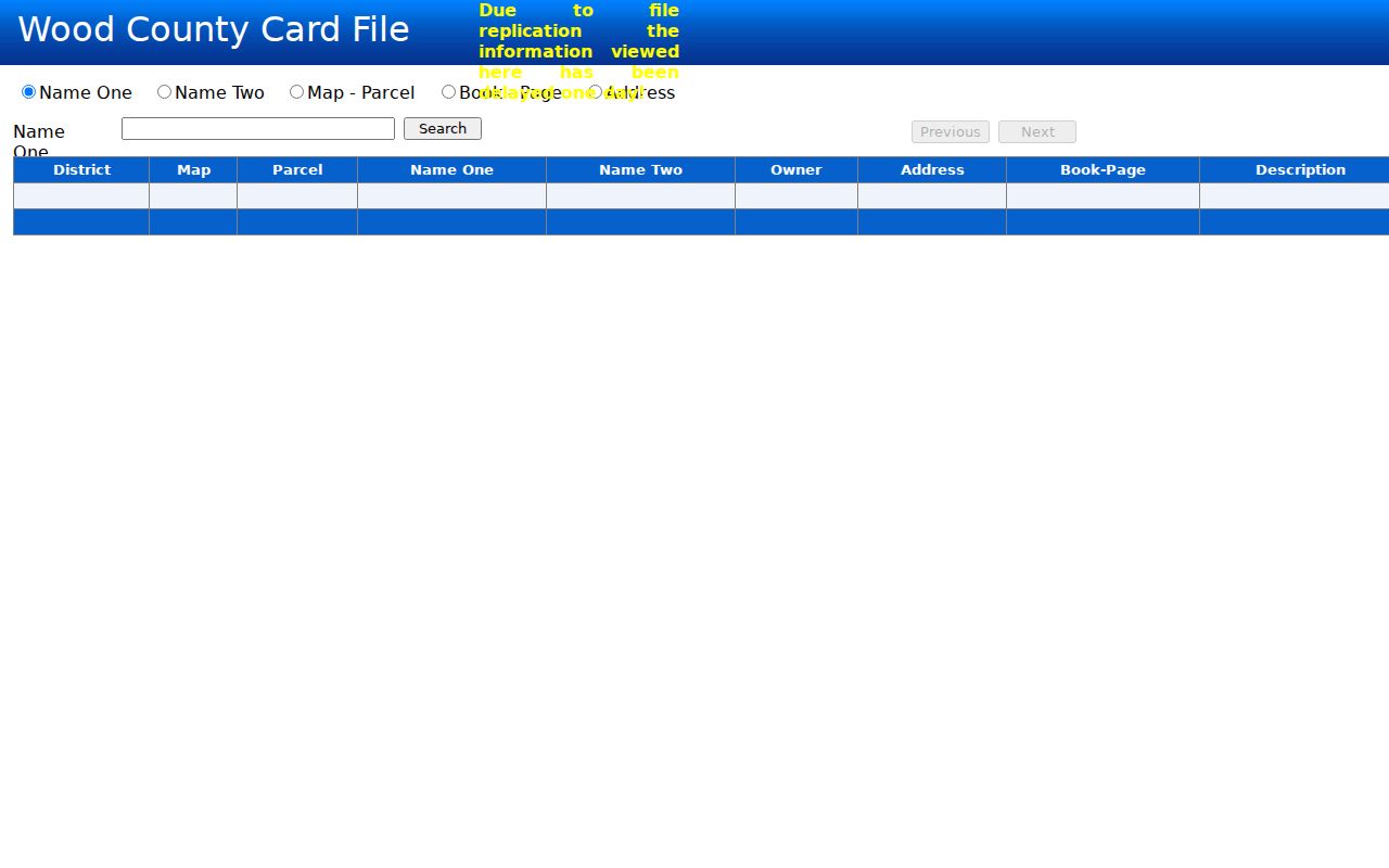
The Card File may lag about one day behind a new deed or other change. That delay is normal replication lag. A new transfer can appear in Clerk records first. Hold on to the deed reference. Then check back, or ask the Assessor whether the assessment record has updated.
Reading Vesting in a Wood County Deed
A deed names the grantor conveying the property and the grantee receiving it. It then states how the grantee takes title. Those names and the vesting clause matter more than any mailing label. Two people may take together. A trustee may hold title in a stated capacity, and a limited liability company may be the named grantee. Read the full instrument and its legal description rather than inferring ownership form from a shortened index name.
The County Clerk maintains Wood County deed records. The public Record Room is Room 103 at 1 Court Square in Parkersburg. The Clerk's office can be reached at 304-424-1870. A deed reference can narrow the search. When book and page point to an older instrument, search the Clerk index by the parties. Then confirm the parcel description inside the document itself.
When a Wood County Parcel Is Owned by an Entity
A company owner raises a different problem. The assessment record may name the entity but not its manager. Names alone fall short. A registered agent is a contact point for an organization, not proof of who owns or benefits from the real estate. A trust name works the same way, identifying the title holder while leaving beneficiaries unnamed. Use the deed to see how the entity or trustee appears in the chain of title, then consult the West Virginia Secretary of State's business records for publicly filed organization and agent information.
Estates create similar delays. A tax roll may keep showing a decedent while probate and deed records catch up. Check the County Clerk's recorded instruments. Check the relevant estate filings too. The age of an entry proves nothing. These sources track separate legal steps and may not update on the same day.
Separating Wood County Situs and Mailing Addresses
A parcel carries two addresses in Wood County records. The situs address shows where the land sits. The mailing address is where the tax bill goes. Mismatches happen often with investment land, inherited property, corporate ownership, and owners who live elsewhere. The CAMA search offers a Parcel Address field plus an owner-name lookup. Try the parcel address first if you know the site. Then match the returned owner and mailing details against the deed-book references. Check the map, parcel, and district details too.
Street labels change; the parcel number does not. A street number can be corrected. A road name can differ across older instruments. Some rural parcels carry no situs address at all. There the map-and-parcel value and legal description work better than any address for bridging the tax record, the map viewer, and the deed.
Resolving a Wood County Current Owner Mismatch
An owner mismatch between the Assessor roll and the latest deed usually starts with one step. Confirm the two records describe the same land. Lay the details side by side: district, map, parcel, legal description, deed book and page, plus any lot or subdivision wording. Street addresses alone can mislead here. A near match may point to a neighboring tract or a parcel number that changed. A later deed, correction, estate conveyance, or parcel split may also have been recorded without reaching the assessment roll yet.
The Wood County Assessor handles assessment-record questions at 304-424-1743, and real-property matters at 304-424-1842. The Clerk's Record Room can explain how to reach recorded instruments, though it does not perform title searches. If a mismatch touches a purchase, boundary, estate, or another legal decision, professional title review is the safer route.
Calling about a parcel address or account correction goes faster with the right materials at hand. Have the district, map and parcel, account number, and a supporting deed or survey reference ready. Mapping staff answer at 304-424-1999, and general property questions at 304-424-1888. Name the exact screen and field that looks wrong. A mapped-shape question may land with a different reviewer than one about the current owner on the tax roll.
Confirming the Current Owner in Wood County
Use the current assessment entry as a locator. Verify the present owner in the recorded conveyance. That two-source check separates the name carried for tax administration from the deed's formal grantee and vesting details.
- Search the Wood County Assessor CAMA site by Parcel Address, Owner Name, or Map/Parcel and record the district and parcel identifiers.
- Follow the displayed deed book and page or search the County Clerk’s index for the most recent conveyance.
- Read the grantee names, vesting clause, and legal description in the deed; confirm they match the parcel.
- If an entity is named, use the West Virginia Secretary of State’s public business filings for organization details, while keeping the agent role distinct from property ownership.
- Owner of record
- The person or entity listed as owner in the current county record.
- Vesting
- The way the deed states that title is held, including the named parties or capacity.
- Registered agent
- A filed contact for an organization, not necessarily its owner or a property owner.
Reaching a Wood County Property Owner
A public mailing address offers a records-based route for correspondence about a property matter. Write about the parcel only. The county publishes no private contact details. The record proves no residence, no phone number, and no relationship to occupants, so it cannot confirm who actually lives there. Use official office channels for corrections.
Responsible use. Use public owner and mailing information for legitimate property research, correspondence, or due diligence. Do not use it to threaten, harass, or expose private individuals; contact an agency if a record appears incorrect.