
Search Wood County by Address, Owner, or Parcel
Wood County keeps its main entry point in the Assessor's free CAMA search. That tool takes an address or an owner. It also accepts an account number, district, map and parcel pieces, and more. A legal description works too. So does a deed book and page. If the land's location is familiar, start with a parcel address. Type owner names as LAST NAME FIRST NAME, with no commas. When the tax map number is already in hand, search by its segments. Do not trust a street spelling that may have shifted over time.
Once an Assessor result confirms the tract, copy its exact map-parcel and deed reference. Then move on. The County Clerk's Online Document Inquiry then searches recorded instruments by party, date, and type. It also covers index and book. The WV Property Viewer adds E-911 address and owner. It includes full parcel ID, map-parcel parts, coordinates, and a buffer. The three portals overlap. They are not one shared database, though. Carry the identifier between them rather than assuming a hit in one updates the rest.
- Search the Wood County CAMA form with the best known address, owner, account, district, map-parcel, legal description, or deed reference.
- Compare the returned situs address and legal description, then record the full district, map, parcel, and suffix.
- Use the deed book and page or party name to find the latest conveyance in the County Clerk inquiry.
- Check tax status with the Sheriff and map geometry in the WV Property Viewer when those questions matter.
- If a link or year is missing, contact the custodian instead of treating a blank result as proof that no record exists.
Inside a Wood County Search Result
A result is only a first look. The Card File lists district, map, and parcel. Name One, Name Two, owner, address, book-page, and description also appear there. CAMA layers on the account, property type, legal description, and deed reference options. The state viewer may add a summary owner, physical and E-911 addresses, and flood zone. Building information, appraised values, and acreage can appear there too. A summary screen can list just one of several co-owners. So open the detail page and compare names against the latest deed whenever joint ownership matters.
| Owner | Name One, Name Two, and the Card File’s current-owner clue |
|---|---|
| Address | Parcel situs, physical address, E-911 address, and mailing address where shown |
| Identifier | District, map, parcel, suffix, county account, or full GIS parcel ID |
| Assessment | Land, building, total appraisal, exemptions, and assessment report links |
| Legal description | Description tied to the recorded deed or plat |
| Deed reference | Book-page clue for the County Clerk instrument search |
None of these fields promises a complete picture of every interest tied to the tract. A tax-roll owner is not the occupant. A mapped parcel is not a surveyed boundary. For the transfer language itself, go to the Clerk's record and read the date, parties, instrument, image, and legal description.
- Situs address
- The assigned location of the land, which can differ from the owner’s mailing address.
- Parcel ID
- The district-map-parcel-suffix key used to match one tract across county and state tools.
- Owner of record
- The person or entity shown in a public land or tax record, not a finding about who lives there.
Choose a Wood County Property Search Key
Each search key has its place. An address works well when the street address is current. The site number must not have changed either. An owner name can surface several parcels at once. But same-name clutter means you need a second clue like district, map, or legal description to sort it out. After the right tract is pinned down, the parcel number becomes the strongest repeatable key. Feed the same full identifier to both the Assessor and the state viewer. One screen may hide leading zeroes, so type them anyway.
| Search Key | Best For | Where It Works | Watch Out |
|---|---|---|---|
| Address | Find a known residence, lot, or business site | Assessor CAMA and WV Viewer | Postal city and street spelling may not match city limits or old deeds |
| Owner name | Find parcels tied to a person, trust, or entity name | Assessor, Card File, Clerk index | Use LAST NAME FIRST NAME; same names and fiduciaries need a second clue |
| Parcel number | Match one tract across records | CAMA, Card File, WV Viewer | Keep district, map, parcel, suffix, and leading zeroes intact |
Not a title search. A Wood County property search helps locate records, but it does not prove that title is clear or that every claim appears in the index. Use a title professional for a title opinion and a licensed surveyor for a boundary.
Wood County CAMA Search Fields
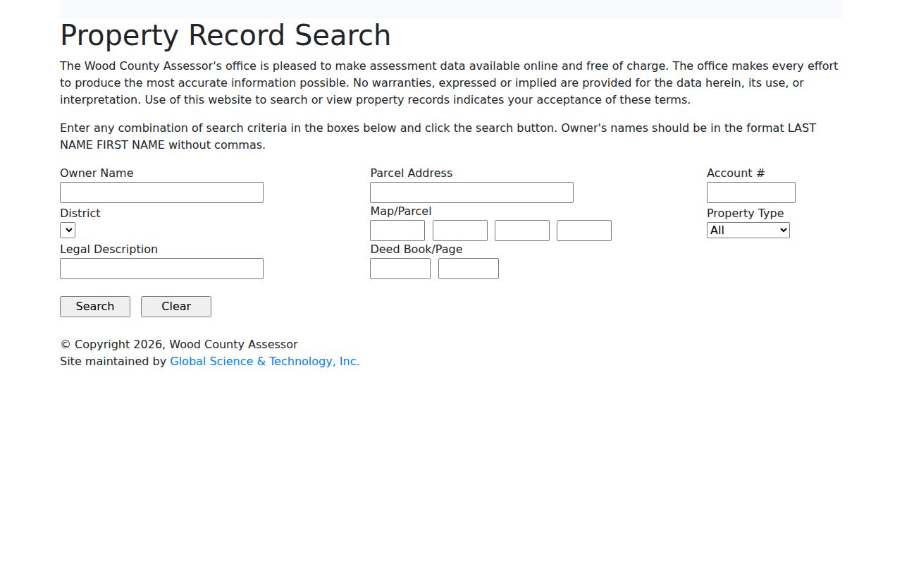
The Assessor's free CAMA form takes one clue or several at once. Owner Name, Parcel Address, and Account Number each work alone. You can also combine District, Map/Parcel inputs, Property Type, and Legal Description. The paired Deed Book and Deed Page boxes let you pull a deed reference. It feeds straight into a property search. The portal leaves partial legal-description matching unexplained. Its dropdown options stay hidden until you dig in. Treat any promised match style with caution.
| Field | Input | What It Helps Match |
|---|---|---|
| Owner Name | Text, LAST NAME FIRST NAME | Owner or entity in the assessment roll |
| Parcel Address | Text | Situs location used by the county |
| Account Number | Text | Assessor account |
| District and Map/Parcel | Select plus four visible inputs | County tax-map identity |
| Legal Description | Text | Lot, tract, or metes-and-bounds clue |
| Deed Book/Page | Two text inputs | Recorded instrument reference |
The Wood County Property Record Search page displays the local form itself. Its field labels match the county's own terminology. That beats guessing at a generic statewide form with a parcel fragment.
When two searches return different parcels, write down the exact field combination. That note makes any follow-up call to the Assessor far clearer.
Wood County Owner Names Need Context
Type a person's name as LAST NAME FIRST NAME. Use no comma in the CAMA Owner Name box. The same owner of record can surface under Name One. It can also surface under Name Two on the Card File. Entities complicate things further. A parcel may sit under a trust, a trustee, an estate fiduciary, or a company rather than the person you expected. Older clerk-index labels vary too. Start with an exact name. Then broaden it. A surname or starts-with filter keeps the property search workable. Narrow it by date, parcel, or legal description.
If the results list several parcels, compare the GIS map fields and addresses. Do this before picking the first row. The state assessment portal offers Basic, Appraisal/Sales, Advanced, and Prior Ownership modes. Fields can include owner, district, full parcel ID, street, sub-parcel, and class. They may also show legal description, mailing address, deed reference, building area, and appraisal or sale ranges. Use those modes to refine results. A matching name alone never proves who owns a particular site.
The One-Day Wood County Card Delay
The Wood County Card File takes several search keys. Name One, Name Two, Map-Parcel, Book-Page, and Address work. A result card displays district, map, parcel, owner, address, book-page, and description. A "Yes" in the current-owner column means current owner. That flag lags reality. County help warns that file replication leaves the display one day behind, so treat the mark as a tax roll clue rather than a live event feed.
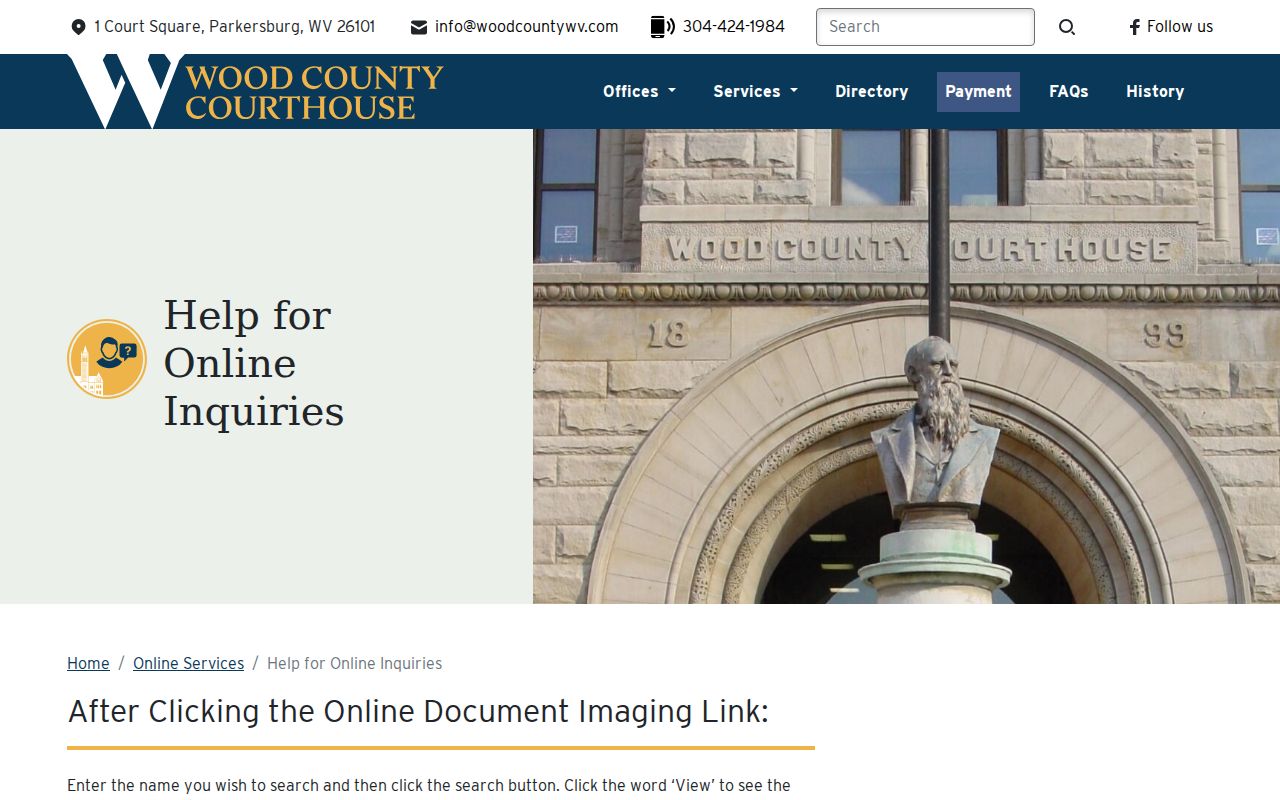
New deeds are often indexed first. The Clerk's recording date is stronger. It can confirm a completed transfer before the card shows the new owner of record. The county search instructions demonstrate the Card File's Address and Book/Page routes. They also show why a one-day gap appears when data copies between county systems.
A missing owner is not always a missing record. Compare the deed's recording date against the card, and ask the Assessor whether the tax roll update is still pending.
Wood County Parcel ID and Viewer Modes
The WV Property Viewer accepts many search keys. E-911 address, owner, physical street, full parcel ID, parcel components, coordinates, and geometry buffer all work. Its GIS identifier is built from district, map, parcel, and suffix pieces. The county CAMA/IAS format differs. It may omit a county code or display pieces differently, and the viewer's example writes leading zeroes. Copy the selected parcel ID straight from the live result rather than rebuilding it from a short tax-map label.
The same viewer links each search to flood-zone information, community, delinquent status, building details, cost and appraisal values, deeded acreage, calculated acreage, and an assessment report. A geometry buffer finds nearby parcels. A coordinates search targets a single point. Deeds and plats still govern. The WV Property Viewer is a map reference, so the legal description comes from recorded land records.
Mailing, Situs, and E-911 in Wood County
A situs or E-911 address locates the land. The tax mailing address is different. The tax roll sends notices there, and it can be an owner's home, an office, a post-office box, or another state entirely. The WV viewer offers an E-911 search. CAMA asks for Parcel Address instead. The labels sound similar. Each one still holds a separate value in the parcel record. Wood County's addressing and mapping coordinator takes assigned-address questions at 304-420-0911.
A postal city name proves nothing about boundaries. USPS treats city names as delivery units, so a Parkersburg, Vienna, or Williamstown label can differ from the incorporated-place line. For an edge parcel, compare the county map, the municipal boundary, and a current USPS lookup. That check shows which city handled a permit. The USPS address lookup can standardize a mailing address and ZIP city, but as a postal tool it settles neither Wood County parcel boundaries nor municipal jurisdiction.
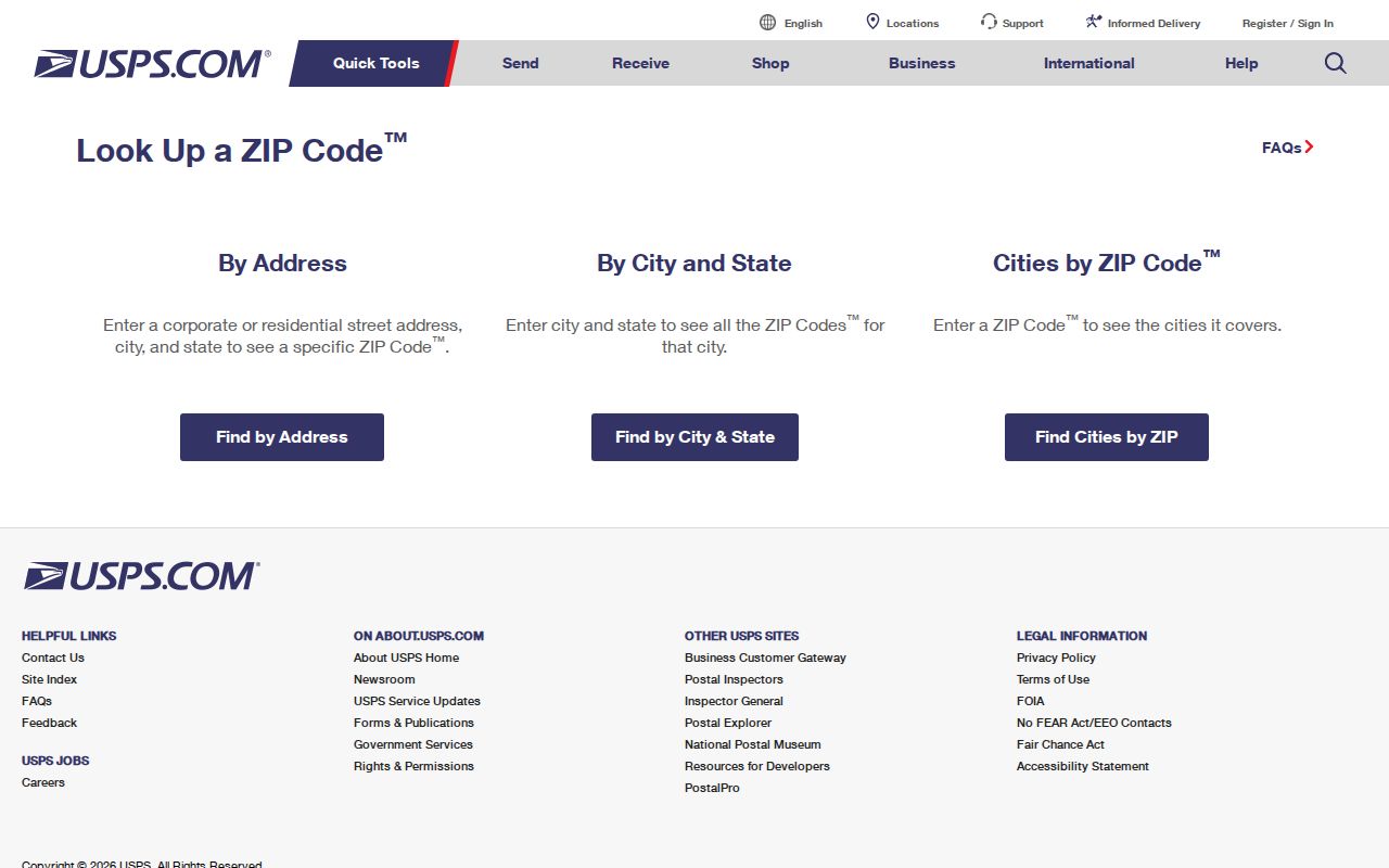
Use the postal result for spelling and delivery format. Then return to the parcel ID and legal description for actual property identification. CAMA owner searches have a format rule. The county instructions say surname first, no comma. Add initials or a second party only if the surname alone returns too much. Name Two helps when an account sits under another owner. Verify any name match against the parcel. Wood County holds many people with similar names. Keep each account or map/parcel result beside the query that found it.
Match the method to your strongest identifier. A tax account number leads to one assessment card. A complete map/parcel key narrows the land record. An address locates the site, but its format shifts across CAMA, E-911, and USPS. An owner name is the broadest route when spellings vary or ownership is shared. Write down the search term and the result's parcel identifiers so a second lookup can be compared accurately.
When a Wood County Search Finds No Match
A blank result is rarely a dead end. Strip out punctuation and try the surname alone. Drop the first name entirely. If you know the map or deed reference, search that instead, since a parcel can sit under an LLC, a trust, an executor, or a spelling variant. Deed type names can differ in the Clerk's menu. A result without an image needs its details saved first. Record the date, document type, book-page, and instrument number. Then ask the Clerk about access.
For records the county has not posted, West Virginia's Freedom of Information Act allows a request for identifiable public records from the custodian. W. Va. Code §29B-1-3 gives the office five days, excluding weekends and legal holidays, to respond with copies, an inspection arrangement, or a written denial. Reproduction cost can be charged; search and labor time cannot. Contact the specific office with the parcel address, date range, and type of record.